

Latest Version
Update
May 06, 2025
May 06, 2025
Developer
Dronetag
Dronetag
Categories
Tools
Tools
Platforms
Android
Android
Downloads
0
0
License
Free
Free
Package Name
com.dronetag.dronescanner2
com.dronetag.dronescanner2
Report
Report a Problem
Report a Problem
More About Drone Scanner
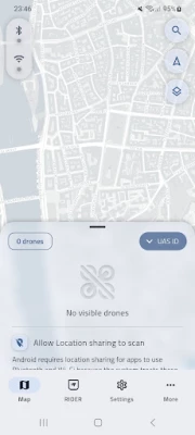
Transform your device into a drone scanner that tracks nearby drones using Direct Remote ID. View drone locations on a detailed map and identify specific drone models and types. See real-time height, direction, pilot info, and more via Bluetooth and Wi-Fi signals. Free app by Dronetag, compatible with EU & US regulations.
Rate the App
Add Comment & Review
User Reviews
Based on 0 reviews
No reviews added yet.
Comments will not be approved to be posted if they are SPAM, abusive, off-topic, use profanity, contain a personal attack, or promote hate of any kind.


More »

Popular Apps

Statastic Basketball TrackerStatastic Solutions FlexCo

Mr.Billion: Idle Rich TycoonIDSIGames

WPS Office-PDF,Word,Sheet,PPTWPS SOFTWARE PTE. LTD.

TCG Card Store Simulator 3DBlingames

RealVNC Viewer: Remote DesktopRealVNC Limited

3D Chess GameA Trillion Games Ltd

Ludo King®Gametion

Duplicates Cleanerkaeros corps

Peacock TV: Stream TV & MoviesPeacock TV LLC

Meta Business SuiteMeta Platforms, Inc.
More »
Editor's Choice

Grim Soul: Dark Survival RPGBrickworks Games Ltd

Craft of Survival - Gladiators101XP LIMITED

Last Shelter: SurvivalLong Tech Network Limited

Dawn of Zombies: Survival GameRoyal Ark

Merge Survival : WastelandStickyHands Inc.

AoD Vikings: Valhalla GameRoboBot Studio

Viking Clan: RagnarokKano Games

Vikings: War of ClansPlarium LLC

Asphalt 9: LegendsGameloft SE

Modern Tanks: War Tank GamesXDEVS LTD